About Us
At Grandmark Solutions Limited, we are at the forefront of innovation in land and property solutions. Our company is built on the foundation of excellence, precision, and a commitment to providing unparalleled services in the geospatial and land surveying industry. We understand the complexities of land management and development, and our expert team is dedicated to delivering solutions that cater to our clients' unique needs.

Our Mission
To provide accurate, efficient, and reliable land surveying and geospatial services that empower individuals, organizations, and communities to make informed decisions and achieve sustainable development.

Our Plan
We aim for professional excellence by investing in team training and maintaining industry standards, while prioritizing sustainability with eco-friendly practices and efficient operations.

Our Vision
To be the leading provider of comprehensive land and property solutions in Africa, renowned for innovation, professionalism, and excellence in service delivery.
Services
As Grandmark Solutions We take pride in offering a wide variety of products and services.

General and Fixed Boundary Survey
We specialize in general and fixed boundary surveys to define and establish property boundaries. Our team uses advanced surveying techniques and state-of-the-art equipment to ensure precise and legally compliant boundary delineation. Whether you’re buying, selling, or developing property, we guarantee clear and accurate boundary information.

Engineering Survey.
Engineering projects demand precise measurements and data. Our engineering survey services include: Construction surveys, Alignment surveys, Earthwork calculations, Site layout and design. We work closely with engineers and architects to deliver detailed and actionable data for infrastructure development projects such as roads, bridges, buildings, and dams.

Topographical Surveys.
Understanding the lay of the land is critical for planning and development. Our topographical surveys provide: Contour mapping, Detailed terrain analysis, Identification of natural and man-made features. These surveys are indispensable for urban planning, agricultural development, and environmental impact assessments.

Sectional Properties Survey.
Our expertise in sectional property surveys ensures smooth transitions for developers and property owners. We facilitate the subdivision and registration of sectional properties in compliance with legal standards. From high-rise apartments to shared ownership schemes, we handle: Preparation of sectional plans, Stakeholder consultations and Legal compliance support.

UAV Mapping.
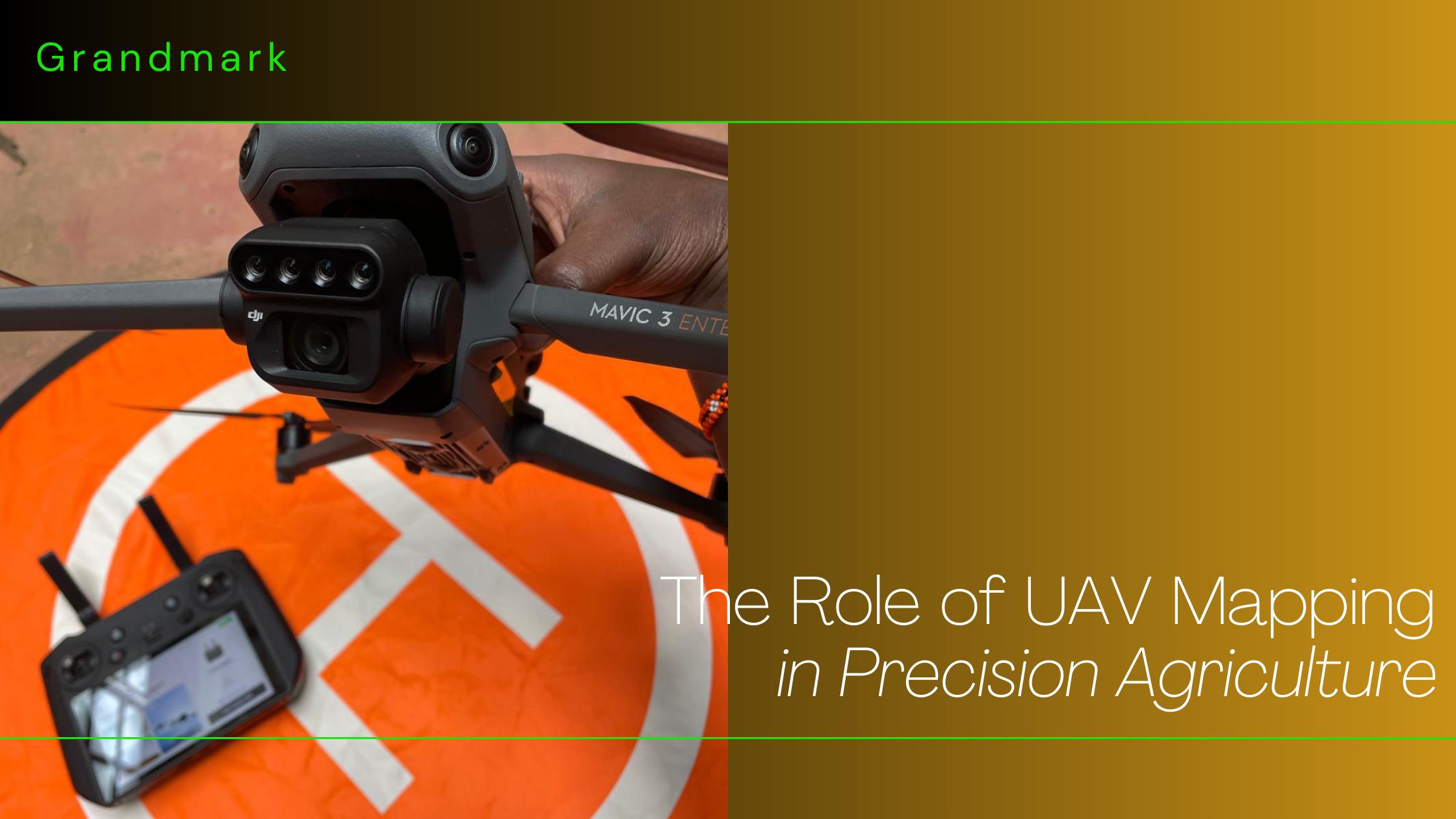
Using cutting-edge drone technology, our UAV mapping services deliver high-resolution aerial data and imagery. Applications include: Land use planning, Construction monitoring, Environmental studies and Precision agriculture. Our UAV mapping solutions are fast, cost-effective, and accurate, offering invaluable insights for diverse projects.

GIS Services.
Geographic Information Systems (GIS) are at the heart of modern geospatial analysis. Our GIS services include: Spatial data collection and management, Data visualization and mapping, GIS analysis for urban planning, environmental studies, and infrastructure development. We leverage advanced GIS software and expertise to provide tailored solutions that meet your unique needs.
Why Choose Us.
-
Expertise and Experience :
Our team comprises highly trained professionals with extensive experience in the geospatial and land surveying fields. We combine technical know-how with practical insights to deliver exceptional results.
-
Cutting-Edge Technology :
We leverage advanced technology, including GPS systems, total stations, GIS software, and UAVs, to ensure accuracy, efficiency, and reliability in all our services.
-
Client-Centric Approach :
At Grandmark Solutions Limited, we prioritize our clients' needs. We maintain open communication, provide regular updates, and tailor our services to meet specific project requirements.
-
Compliance and Integrity :
We adhere strictly to legal and professional standards, ensuring that our work is compliant, ethical, and trustworthy.
-
Comprehensive Solutions :
Surveying and mapping to legal support and dispute resolution, we offer a one-stop shop for all your land and property needs.
Message From The Directors.

Mr. Dennis Korir.
Director.
 At Grandmark Solutions Limited, we believe that trust and reliability are the foundations of every successful partnership.
With a focus on precision and integrity, we are committed to providing you with innovative and dependable solutions for
all your geospatial and surveying needs. Thank you for trusting us to be a part of your journey toward progress and excellence.


Mr. Collins Meikan.
Director.
 At Grandmark Solutions Limited, your success is our priority. We strive to deliver services that not only meet but
exceed your expectations. By leveraging cutting-edge technology and a passion for excellence, we ensure every project
is handled with the utmost care and professionalism. Thank you for allowing us to serve you and contribute to your goals.

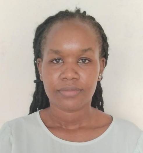
Ms. Gloria Cheptoo
Director.
 It is with great pride and gratitude that we serve you at Grandmark Solutions Limited. Our mission is to create lasting
value by providing top-tier geospatial and surveying solutions tailored to your unique needs. Together, let us build a
future of sustainable development and shared success. We thank you for your continued trust and partnership.

Facts
Here is our operations in numbers ;
Clients
Projects
Hours Of Support
Hard Workers
Weekly Blog.
- All
- Land
- Air
- Water
Testimonials

Joel Kageto.
Land Owner
 Grandmark Solutions provided exceptional GIS and surveying services for my property portfolio. Their precision and attention to detail were unmatched, helping me make informed decisions about land development. Highly recommended!


Gideon Bosco Chebelyon.
Land Owner
 Navigating land documentation has always been a hassle, but Grandmark Solutions made the title deed process smooth and stress-free. Their professionalism and efficiency are truly commendable.


GMX Holdings.
Tanzania.
 The remote sensing data provided by Grandmark Solutions gave us insights We never thought possible. They revealed patterns and opportunities that have significantly enhanced my estate management.


Arap Cheres.
Engineer
 Grandmark’s engineering surveying services were a game-changer for my construction project. Their accurate measurements ensured everything was executed perfectly, saving me time and money.


Festus Bett.
Land Owner
 Thanks to Grandmark Solutions, I had a detailed topographic survey that made planning my luxury villa seamless. Their expertise is evident in every step of the process.

Contact Us
Reach us through the following channels ;

