


Understanding Hydrographic Survey.
Hydrographic surveys play a vital role in understanding and managing the world’s water bodies. By measuring and mapping the physical features of oceans, seas, rivers, and lakes, hydrographic surveys provide critical data that support navigation, resource management, and environmental conservation. This article delves into the significance of hydrographic surveys and their diverse applications across industries.
What is a Hydrographic Survey?
A hydrographic survey involves the systematic collection of data about the underwater topography and the physical characteristics of water bodies. Using advanced equipment like echo sounders, GPS systems, and sonar technology, hydrographic surveys measure water depth, identify underwater hazards, and map the seabed’s features. The data collected is essential for creating accurate nautical charts and supporting various marine and coastal projects.
Key Applications of Hydrographic Surveys
1. Navigation Safety :
Hydrographic surveys are fundamental to ensuring the safety of navigation. By identifying underwater hazards, measuring water depths, and mapping seabeds, these surveys help produce nautical charts that guide ships, boats, and submarines safely through waterways. Regular updates to these charts are critical for avoiding accidents and optimizing maritime routes.
2. Port and Harbor Development :
When planning the construction or expansion of ports and harbors, hydrographic surveys provide vital data on water depth, sediment movement, and seabed conditions. This information helps engineers design safe and efficient port facilities while minimizing environmental impact.
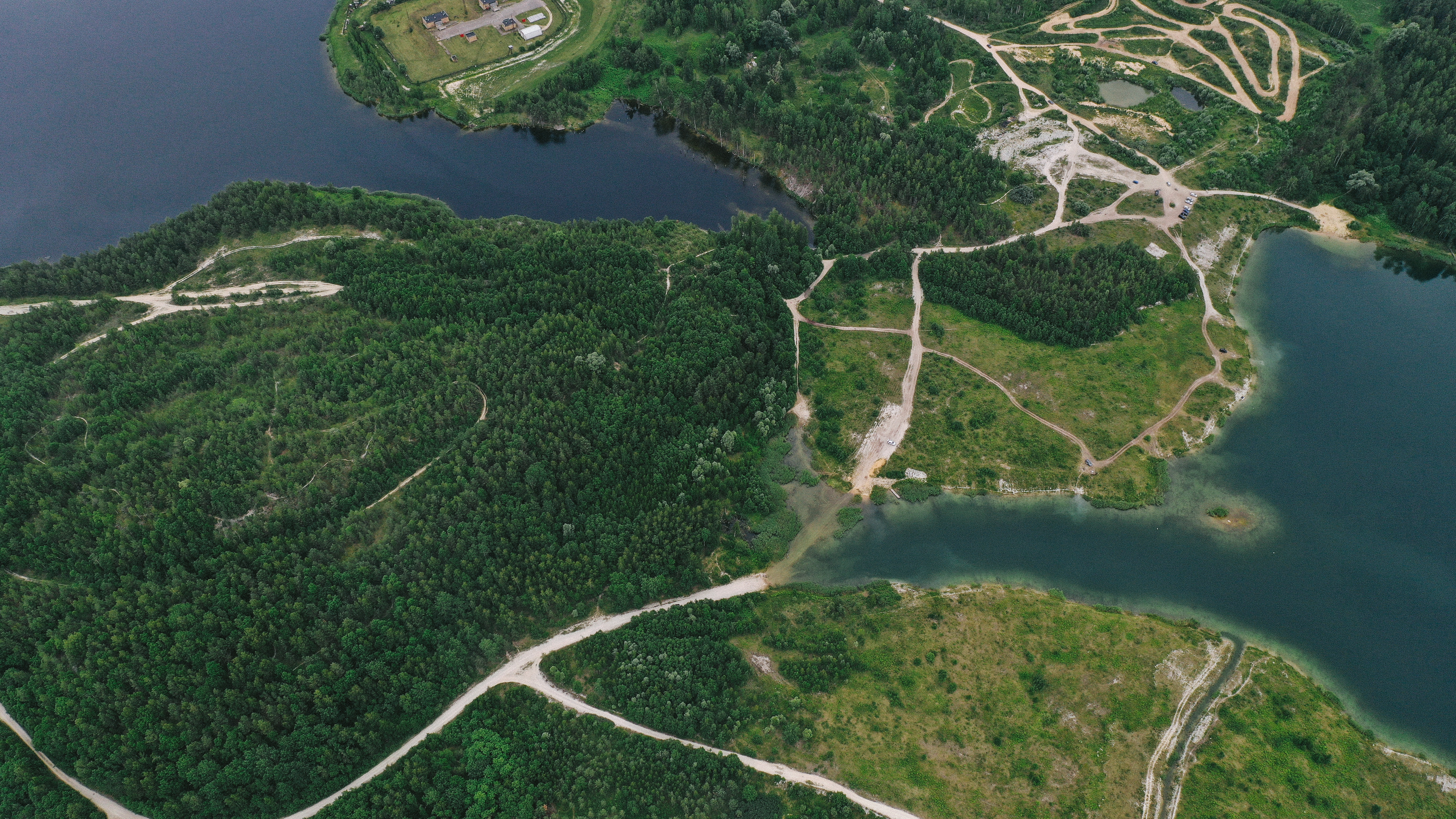
3. Coastal Zone Management :
Hydrographic surveys support coastal zone management by monitoring shoreline erosion, sediment deposition, and tidal patterns. This data informs strategies to protect coastal areas from flooding and erosion, ensuring the sustainable use of coastal resources.
4. Offshore Resource Exploration :
The oil, gas, and renewable energy sectors rely heavily on hydrographic surveys for offshore exploration. Mapping the seabed helps locate potential drilling sites, assess wind farm feasibility, and lay underwater pipelines or cables. Accurate data ensures these projects are executed efficiently and safely.
5. Environmental Monitoring :
Hydrographic surveys contribute to environmental conservation by mapping sensitive marine habitats, tracking pollution levels, and monitoring the health of aquatic ecosystems. This data supports efforts to protect biodiversity and manage natural resources sustainably.
6. Disaster Response and Recovery :
In the aftermath of natural disasters like tsunamis, hurricanes, or floods, hydrographic surveys are crucial for assessing damage to waterways and coastal areas. By identifying changes in seabed conditions or water depth, these surveys help guide recovery efforts and rebuild critical infrastructure.
Technologies Used in Hydrographic Surveys ;
Modern hydrographic surveys utilize advanced technologies to enhance accuracy and efficiency, including :
Measure water depth by emitting sound waves and analyzing their return.
Provides detailed images of the seabed to identify underwater objects and features.
Use laser technology to map shallow water areas and coastal zones.
Ensure precise location data for accurate mapping.
Conclusion.
Hydrographic surveys are indispensable for understanding and managing aquatic environments. Their applications span from navigation safety and port development to environmental conservation and disaster recovery. As technology advances, hydrographic surveys will continue to play a pivotal role in shaping sustainable interactions with the world’s water resources. By leveraging accurate and up-to-date hydrographic data, we can ensure the safety, efficiency, and sustainability of marine and coastal activities.