

The Role of UAV Mapping in Precision Agriculture.
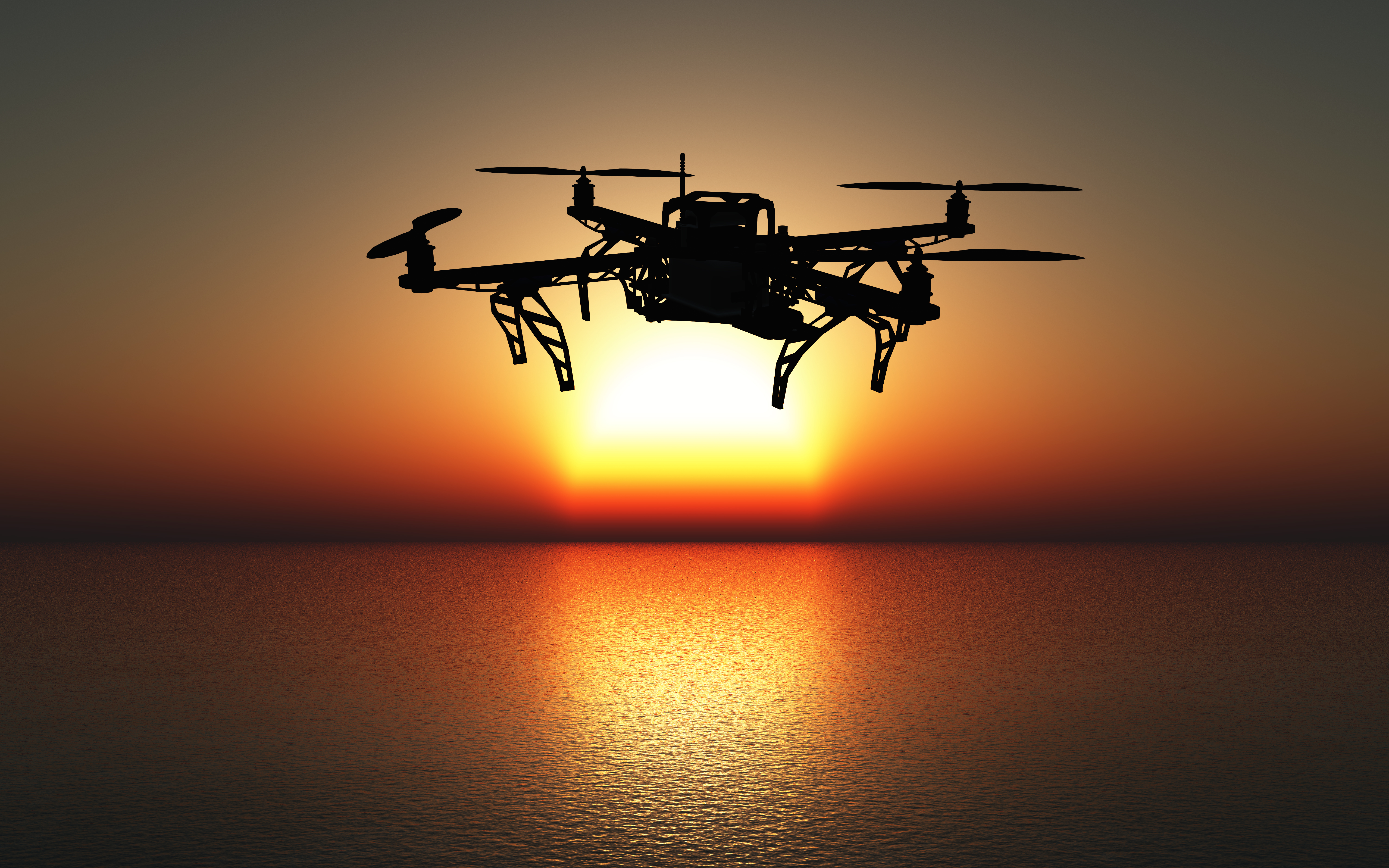
In recent years, advancements in technology have revolutionized agriculture, enabling farmers to optimize production and resource management like never before. One standout innovation is the use of Unmanned Aerial Vehicles (UAVs), commonly known as drones, for mapping and monitoring agricultural fields. This article explores the pivotal role UAV mapping plays in precision agriculture and its transformative potential for modern farming.
Enhanced Field Monitoring.
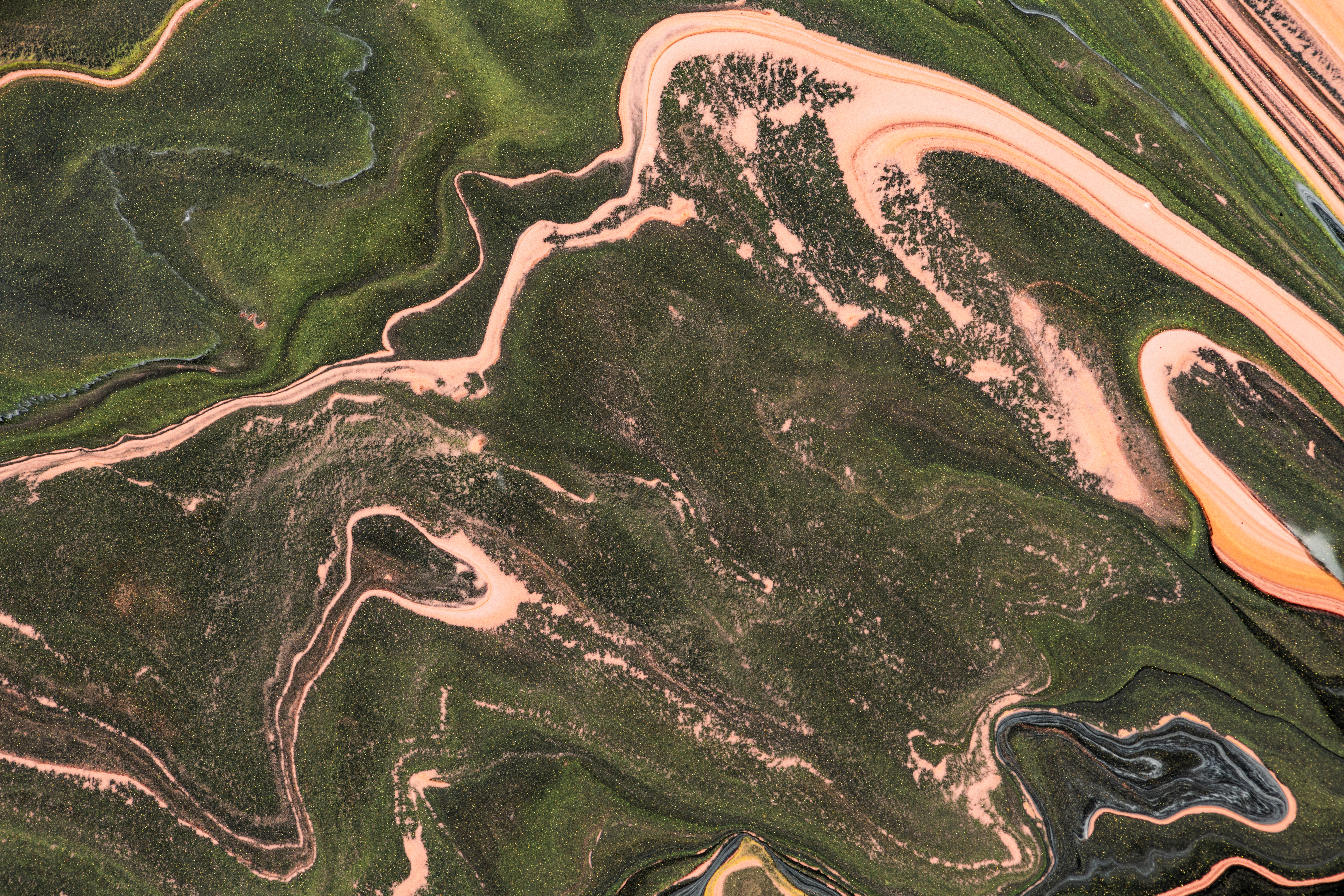
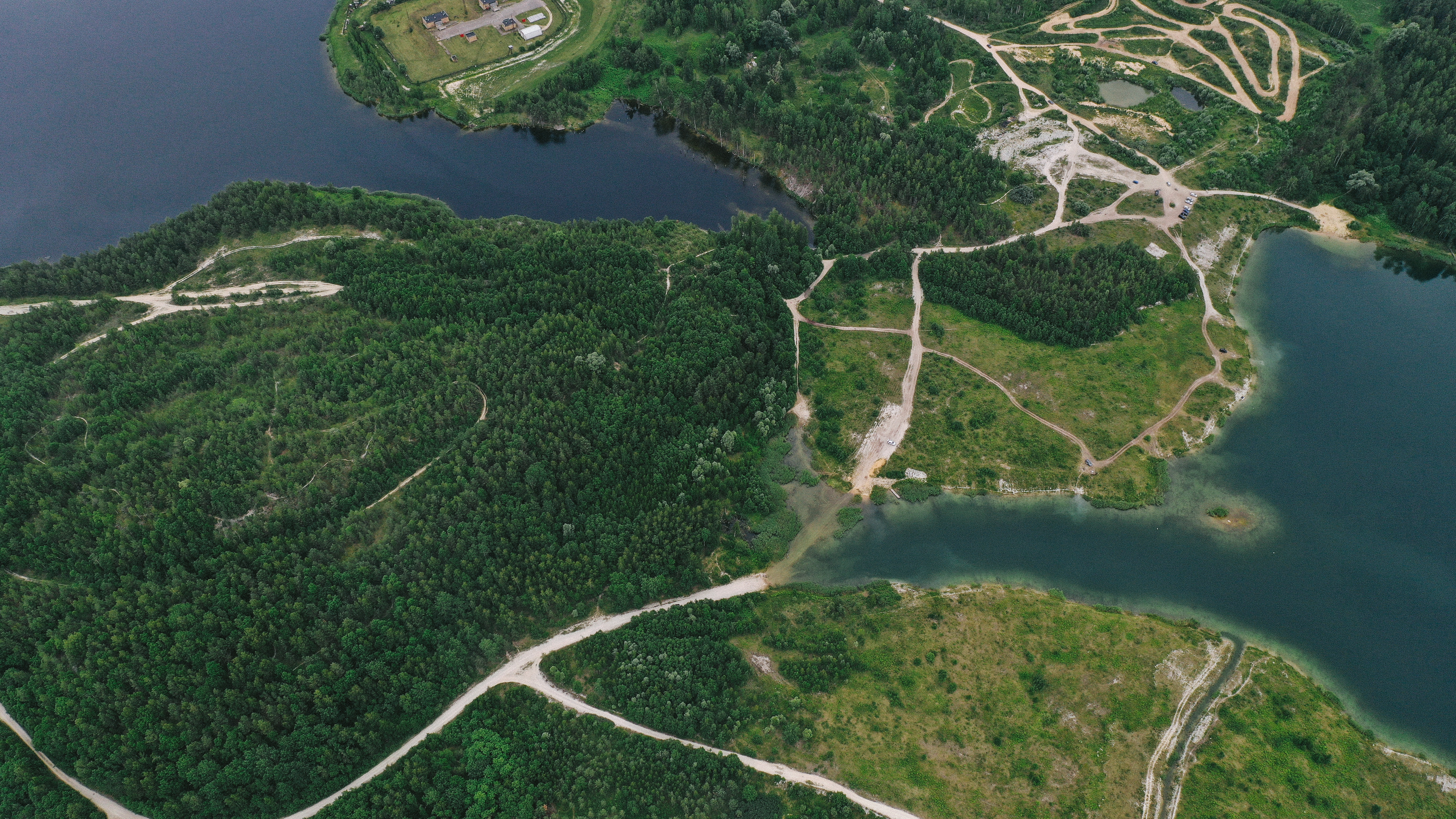
UAV mapping allows for real-time monitoring of large agricultural fields with incredible precision. Equipped with high-resolution cameras and sensors, drones capture detailed aerial images that reveal crucial insights into crop health, soil conditions, and water distribution. This data helps farmers identify problem areas quickly, enabling timely interventions to prevent crop loss and improve overall yield.
Precision Resource Management.
Efficient use of resources is at the heart of precision agriculture, and UAV mapping excels in this area. By analyzing drone-captured data, farmers can create detailed maps showing variations in soil fertility, moisture levels, and plant health. This information guides targeted applications of fertilizers, pesticides, and irrigation, minimizing waste and reducing costs while enhancing environmental sustainability.
Early Detection of Crop Stress and Disease.
UAVs equipped with multispectral or thermal sensors can detect subtle changes in crop conditions that are invisible to the naked eye. For instance, thermal imagery can identify areas where plants are under water stress, while multispectral imaging highlights zones affected by disease or pests. Early detection allows for swift corrective action, safeguarding crop productivity.
Improved Planning and Forecasting.
With the data collected through UAV mapping, farmers can develop precise planting and harvesting schedules based on field conditions and crop maturity. This predictive capability minimizes uncertainties and ensures that operations are timed for maximum efficiency. Additionally, drone data supports long-term planning by helping farmers track trends in soil and crop health over multiple seasons.
Cost and Time Efficiency.
Traditional field surveys are time-consuming and labor-intensive. In contrast, UAV mapping covers vast areas quickly and with minimal effort. Drones can scan an entire field in minutes, providing actionable data faster than ever before. This efficiency translates to significant cost savings and allows farmers to focus on implementing solutions rather than gathering data.
Environmental Benefits.
By enabling precise resource application and reducing waste, UAV mapping supports sustainable farming practices. Targeted pesticide and fertilizer use reduces runoff into nearby water bodies, while optimized irrigation conserves water. These environmentally friendly practices benefit not only the farm but also the surrounding ecosystem.
Conclusion.
UAV mapping is a game-changer in precision agriculture, offering farmers a powerful tool to maximize efficiency, reduce costs, and enhance sustainability. By providing accurate, real-time data, drones empower farmers to make informed decisions that lead to healthier crops and higher yields. As technology continues to advance, the integration of UAV mapping into everyday farming practices will undoubtedly play a critical role in shaping the future of agriculture.